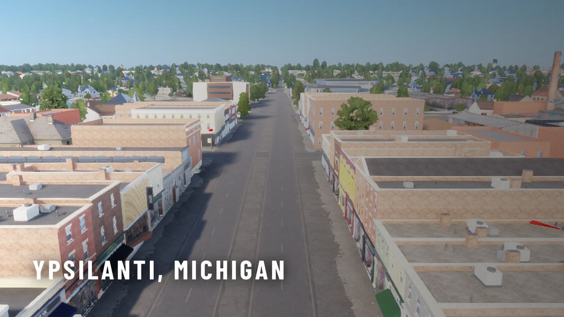
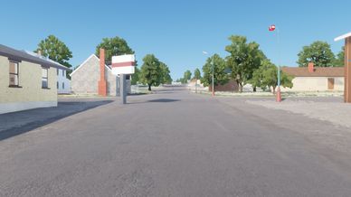
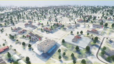
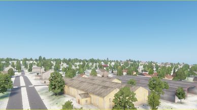
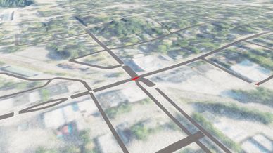
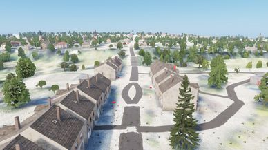
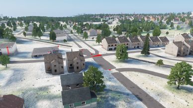
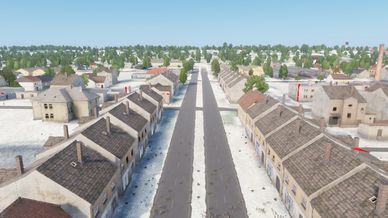
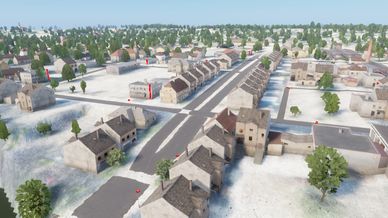
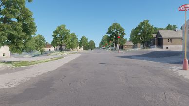
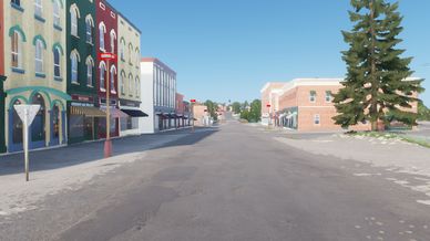
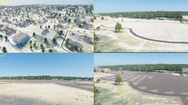
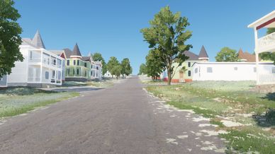
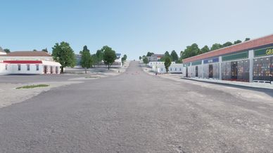
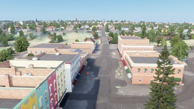
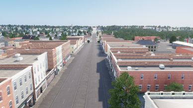
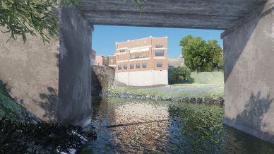
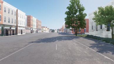
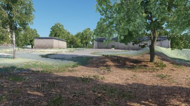
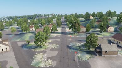
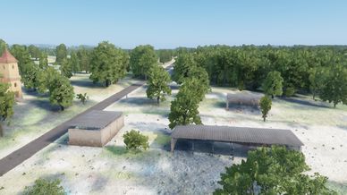
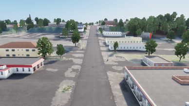
Ypsilanti, Michigan world / map for use in ReforgedZ.

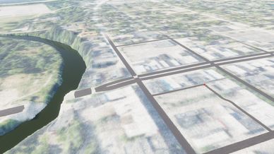
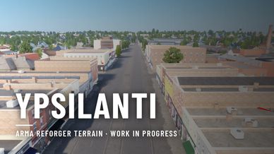
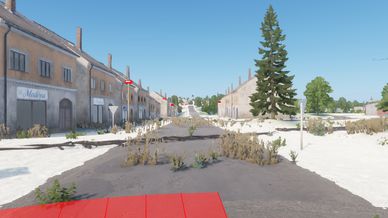
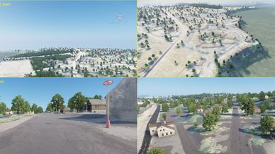
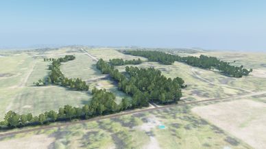
Ypsilanti is a 20.48 x 20.48 km (about 419 km2) real-world terrain of Ypsilanti, Michigan, USA. It covers the city of Ypsilanti, the townships around it and the east side of Ann Arbor, and follows the Huron River from Ann Arbor to Belleville Lake.

This is an early version. Expect changes: more landmarks and interiors are on the way.

WHAT IS ON THE MAP
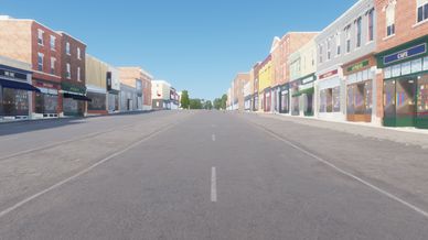
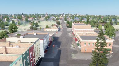
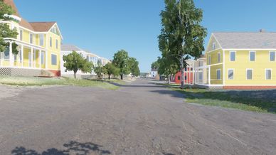
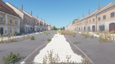
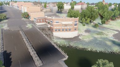
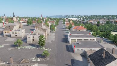
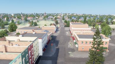
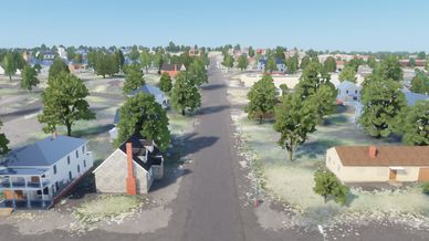
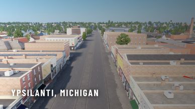
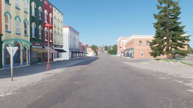
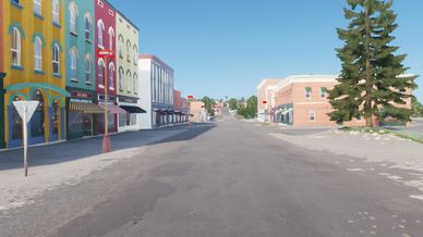
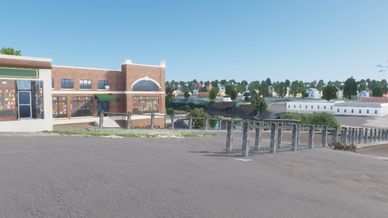
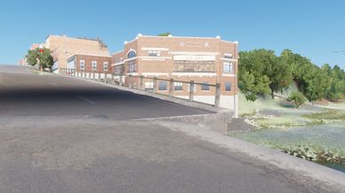
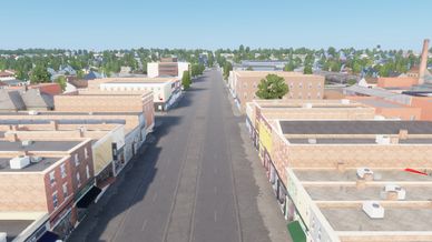
- Downtown Ypsilanti and Depot Town, with 175 custom-modelled buildings along Michigan Avenue, Cross Street, Forest Avenue and East Michigan Avenue
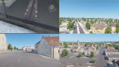
- Walk-in interiors in most of those buildings and on North Campus: shops, restaurants, bank halls, offices, apartments and the downtown library, with stairs to the upper floors
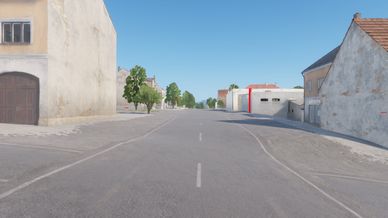
- Sidewalks, kerbs and crosswalks in the town centre and on the campuses, and trails and paths through the parks, along the river and to the footbridges
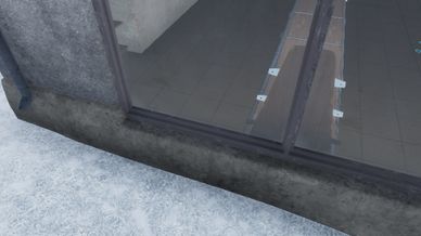
- The Ypsilanti Water Tower (1889-90), enterable: an iron stair of 139 steps climbs to the room under the tank and out onto the catwalk
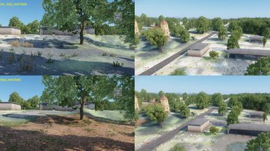
- Five historic downtown churches with their towers and steeples
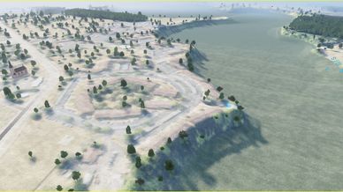
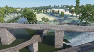
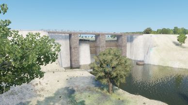
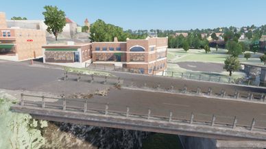
- The Huron River with custom models of the Geddes, Superior, Peninsular Paper and Ford Lake dams, Ford Lake and the west part of Belleville Lake
- Eastern Michigan University: eight campus buildings with walk-in interiors, among them Starkweather Hall, Welch Hall, Pease Auditorium and the Sherzer Hall observatory dome
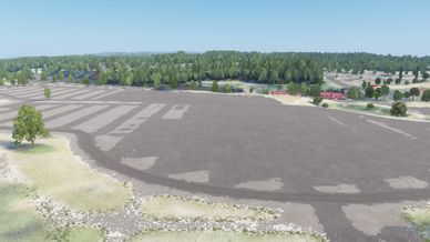
- Rynearson Stadium with its grandstands, the Convocation Center (enterable) and the indoor practice building
- Riverside Park and Frog Island: the three-way footbridge known as the Tridge, two more footbridges, the river gazebo, a picnic shelter and the amphitheatre
- University of Michigan North Campus: the carillon tower, the media library with its glass pyramids, the commons and more campus buildings
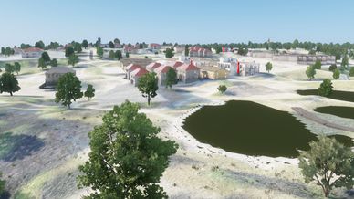
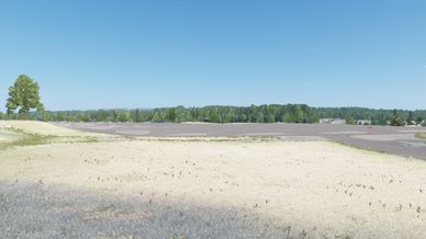
- Willow Run Airport with its 1941 hangar and old terminal, the preserved part of the bomber plant, the control tower, the aviation museum and a jet hangar
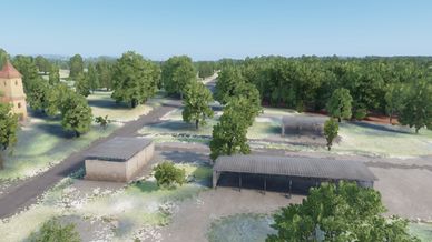
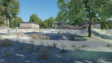
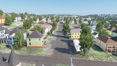
- About 67,500 buildings on real footprints: American houses, apartments, shops, churches, schools and farm buildings from a custom building library (972 of them enterable), plus vanilla buildings where they fit better
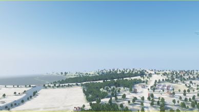
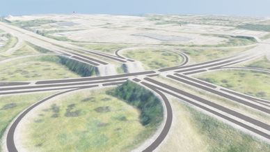
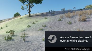
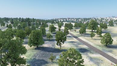
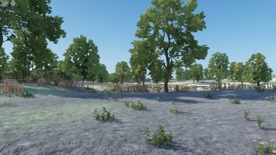
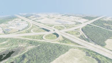
- The I-94 / US-23 interchange, farmland and wooded hills in Superior Township

HOW IT WAS MADE
- Terrain: USGS 3DEP 1 m lidar (flown April 2017) on a 2 m grid. Height differences are doubled (2x vertical exaggeration around 197.56 m, the level of Belleville Lake), so the river bluffs and hills read in game. In-game altitudes are therefore higher than the real ones.
- Water: a flat pool behind each dam, sloped river reaches between them. The Ford Lake and Belleville Lake beds follow Michigan DNR depth contours.
- Ground: USDA NAIP 2022 aerial imagery, with ground materials from land cover and map data.
- Roads, paths, bridges, buildings and land use: OpenStreetMap and Overture Maps.
- Woodland: USGS land cover and USFS tree canopy data.
- Landmarks and downtown buildings: modelled for this map from their footprints, the lidar and reference photos. No photos are included in the mod.

SCENARIO
- Ypsilanti - Game Master, for up to 32 players. The camera starts over Depot Town, looking toward downtown.

KNOWN ISSUES
- No AI navmesh yet, so AI units cannot move.
- Some bridges, overpasses and junctions are simplified.
- Slopes are steeper than in reality because of the 2x vertical exaggeration.
- The in-game map has no hill layer yet.
- Some downtown buildings are still closed shells without interiors.
- The map is large and densely built. If the frame rate drops in town, lower the view distance and object detail.

CREDITS AND LICENCES
Map data © OpenStreetMap contributors, available under the Open Database License (ODbL) 1.0: https://www.openstreetmap.org/copyright
- Overture Maps Foundation: ODbL; includes building data from Esri Community Maps contributors (CC BY 4.0) and Microsoft (ODbL)
- Elevation: USGS 3DEP lidar (public domain)
- Imagery: USDA Farm Service Agency, NAIP 2022 (public domain)
- Hydrography: USGS NHDPlus HR (public domain)
- Land cover: USGS Annual NLCD and USFS NLCD Tree Canopy Cover (public domain)
- Lake depths: Michigan DNR, Institute for Fisheries Research
The build scripts, with the small input files they need, are at https://github.com/s0wingseason/ypsi-reforger . Running them rebuilds the map data derived from OpenStreetMap and Overture Maps; any such derived data is under the ODbL.

This is an unofficial, fan-made map. It is not affiliated with or endorsed by Bohemia Interactive, the City of Ypsilanti, Eastern Michigan University, the University of Michigan, or any company whose sites appear on the map.