Summary
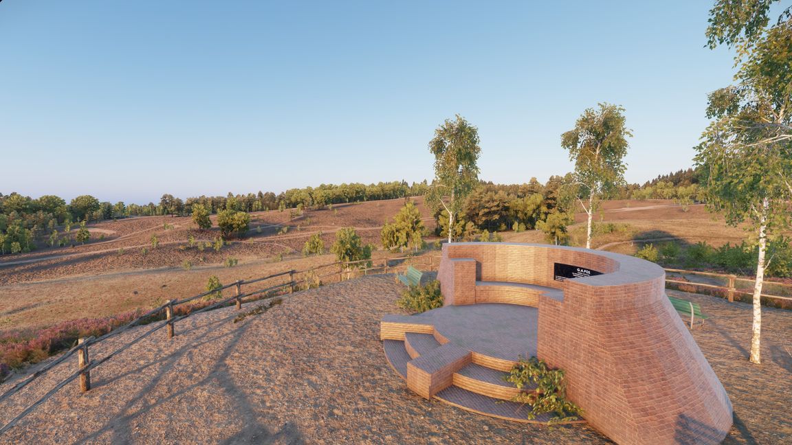
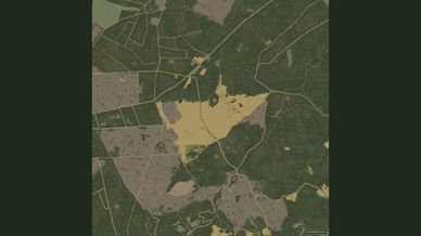
The Veluwezoom near Arnhem in 2.8 x 2.8 km: the Posbank, Signaal Imbosch, Brandtoren and the heath around Herikhuizen, built with Reforger assets and following the real roads and landmarks.
Description
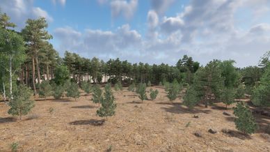
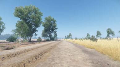
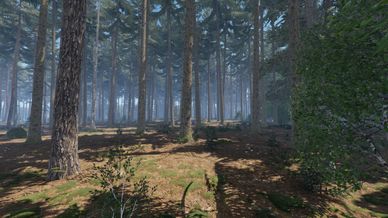
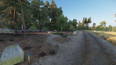
Veluwe is a 2.8 x 2.8 km terrain based on the Veluwezoom near Arnhem, the hilly south-east corner of the Veluwe with the Posbank, Signaal Imbosch, the Brandtoren and the heath fields around Herikhuizen and Terlet. Everything is built with the assets that are available in Reforger, but the roads, trails, forests, heath and landmarks follow the real ones as close as I could get them.

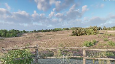
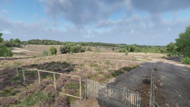
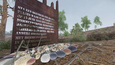
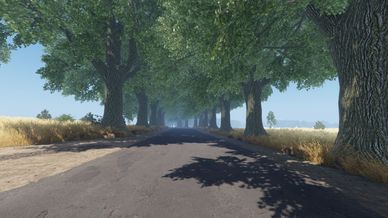
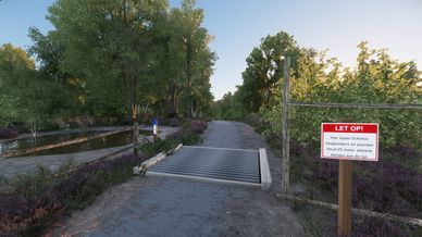
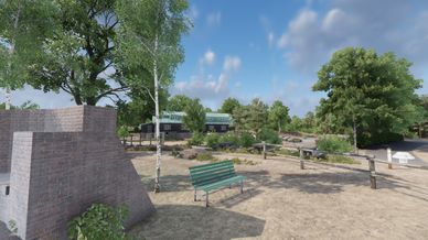
You'll find pine and mixed forest with tree lined lanes, dry heath grass and heather fields, the Posbank monument and pavilion, the Lancaster memorial, the remains of the German radio station Teerose II, Dutch walking and cycling signage, fences, car parks and benches as they are in the national park.

Map data © OpenStreetMap contributors (ODbL). Height and canopy data from AHN, aerial imagery © Beeldmateriaal Nederland / PDOK (CC BY 4.0).
License
Arma Public License No Derivatives (APL-ND)