Summary
Real-world 16.4 x 16.4 km terrain of the Gaza envelope: Sderot, Netivot, Nahal Oz, Kfar Aza. Work in progress.
Description
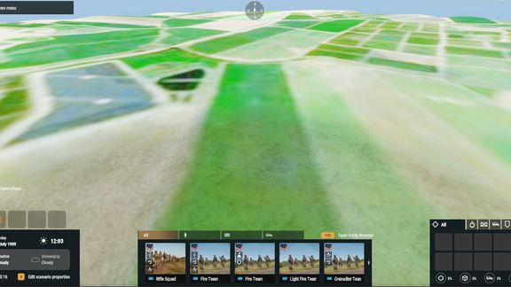
Real-world terrain built from SRTM elevation data at 2 m per vertex, 16384 x 16384 m, centred on 31.474N 34.550E - the western Negev and the Gaza border: Sderot, Netivot, Nahal Oz, Kfar Aza, Saad.

Ground surfaces follow real OpenStreetMap land use: farmland, orchards, scrub and built-up areas. Includes a Game Master scenario and an in-game map.

Work in progress: no roads, buildings or AI navmesh yet.

Satellite imagery: Sentinel-2 cloudless by EOX IT Services GmbH s2maps.eu, contains modified Copernicus Sentinel data 2020, CC BY-NC-SA 4.0. Non-commercial use only.
License
Arma Public License (APL)