




Summary
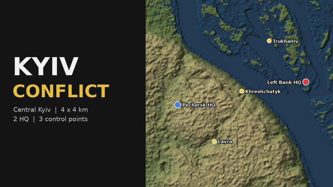
Conflict scenario on a 4x4 km terrain of central Kyiv built from real elevation data.
Description
Kyiv Conflict - test build. 4x4 km terrain of central Kyiv (Copernicus DEM elevation). Two HQs: Pechersk (right bank hills) and Left Bank. Control points: Lavra, Khreshchatyk, Trukhaniv island. Work in progress: no buildings or navmesh yet.