Summary
Real-scale Zemgale regions: Jelgava, Bauska and the Lielupe corridor. Work in progress.
Description
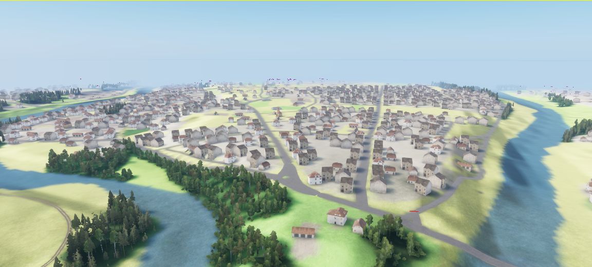
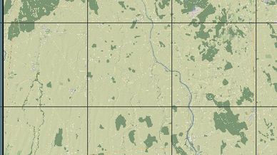
Real-scale (32.8 x 32.8 km) map of the Zemgale region, from Jelgava to Bauska along the Lielupe river.

- Terrain from LĢIA lidar elevation data
- Roads, rivers, forests and ~7,300 buildings generated from OpenStreetMap
- Game Master scenario with US and USSR spawn points

Work in progress: more forests, water, villages and landmarks coming in updates.

Terrain data © LĢIA (Latvian Geospatial Information Agency), CC BY 4.0.
Map data © OpenStreetMap contributors, ODbL.
License
Arma Public License (APL)