Summary
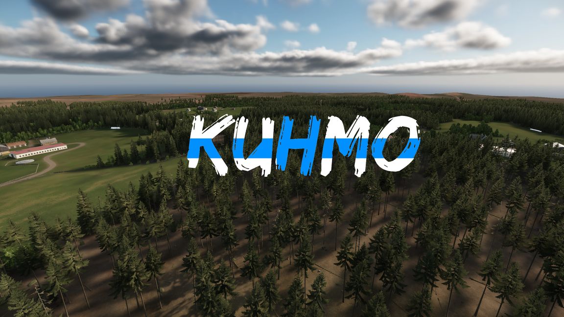
- Size is about 6x6km.
- Technically this is Rasti village area, Kuhmo is city located about 10 kilometers from the area.
- There is also MANW_2025 version, but this one is being updated.
Description
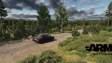
This map started from larger Arma III terrain project, it is based on 2-meter laser scan data from National Land Survey of Finland. Altough it is altered for gameplay with changes in heightmap, additional roads that may or may not exist in real life. I also did many visits to the real locations to make sure I captured important details.
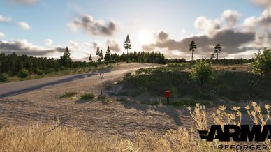
- Location is in Finland.
- Size is about 6x6km.
- Technically this is Rasti village area, Kuhmo is city located about 10 kilometers from the area.
- Few custom Finnish style objects made by me
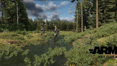
- Few "easter egg" locations, trenches and foxholes.
Brief history of the area, this terrain was heavily fought over during Winter War.
During the Winter War (30 November 1939 – 13 March 1940), Kuhmo’s front became a microcosm of the larger conflict, featuring fierce defensive battles, guerrilla strikes, and devastating encirclements against Soviet ski troops and the 54th Mountain Division of the Red Army.
Finnish Separate Battalion 14—initially composed of local men from Kuhmo and Sotkamo—held the line from border, before regrouping around Rasti. A counter-attack by the 9th Division in late January 1940 split the Soviet forces into isolated “motti” pockets, leading to brutal forest engagements through to the armistice on 13 March 1940.
- Location at the southeastern corner of Kainuu, straddling a major drainage divide that also marks much of Finland’s border with Russia. Most of Kuhmo drains westward into Lake Oulujärvi.
License
Arma Public License (APL)