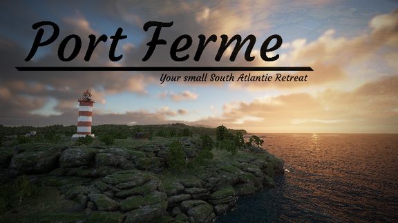
Summary
Port Ferme is a Small south Atlantic Island.
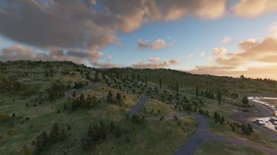
The Map is 10x10km, the Main Island is 5x3km
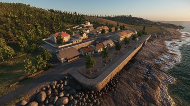
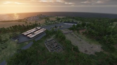
2 Big Towns, some smaller Villages/Farms.
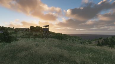
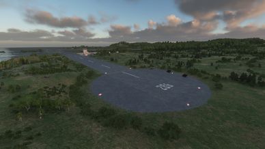
1 Airfield and 1 Mil Base with rough Terrain.
Description
Port Ferme, a forgotten island with a long and complicated past.
First discovered during the colonial era and later settled around the early 1800s, Port Ferme began as a remote garrison outpost in the middle of the Atlantic. Over time, the island became a vital waypoint for ships crossing the ocean, its steep serpent roads connecting two growing harbor towns carved into the rugged cliffs.

During World War I, Port Ferme rose to strategic importance as a military logistics hub and transatlantic relay station, guiding cargo convoys and encrypted communications through dangerous waters. Though mostly overlooked during World War II, the island returned to prominence in the Cold War, where rumors of covert weapon transfers, intelligence operations, and hidden military facilities surrounded its quiet shores.

Officially renovated in the 1970s as a peaceful tourist destination, Port Ferme still carries the unmistakable scars of its military legacy. Old bunkers overlook vineyards, abandoned relay towers stand above coastal farms, and the island’s famous wines and spirits are produced in the shadow of forgotten fortifications.
A place of beauty, history, and secrets.
welcome to Port Ferme.

SatMap done with SeamlessSatmap by TillW
Thanks to Nato Taskforce for Testing and help.

If you find any Errors, have wishes or troubles find me on
my Clans Discord or the Offical Arma Discord.
https://discord.gg/ymVmHt8aVT - Lefter005
License
Arma Public License (APL)